Submitted by jenny999 on Mon, 02/10/2023 - 8:11am
Certainly, let's rephrase the Flow-of-Water Top-of-Ridge (FOWTOR) model to include the concepts you've mentioned:
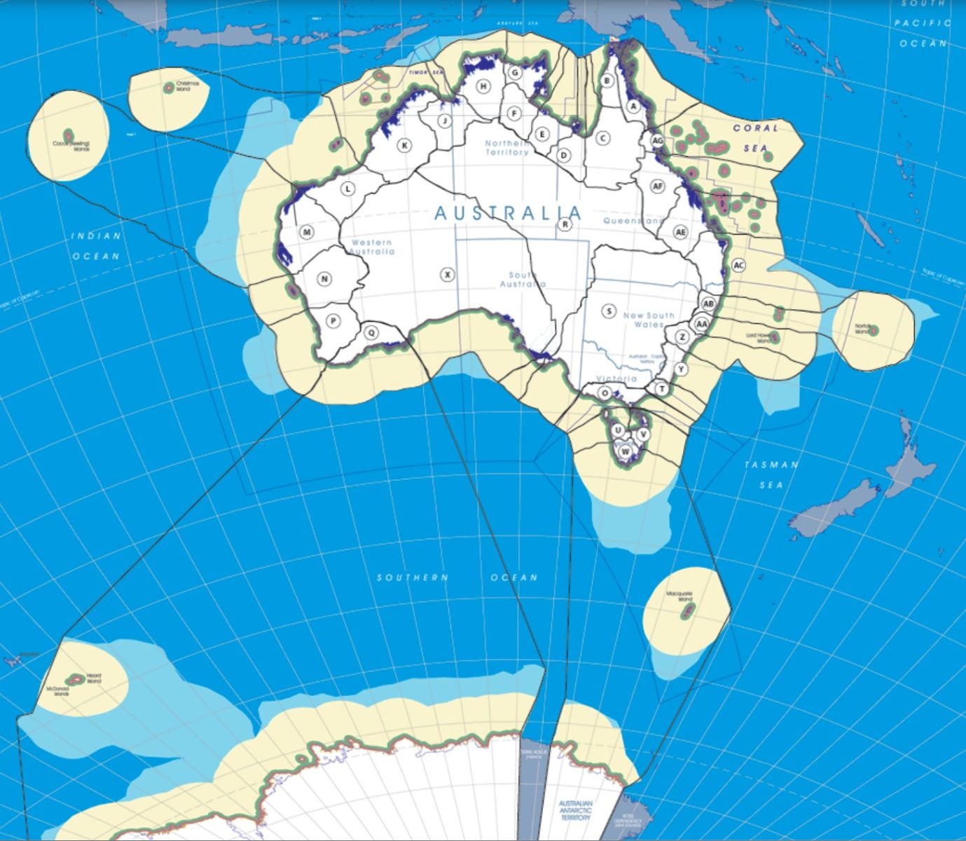
The Flow-of-Water Top-of-Ridge (FOWTOR) model is a comprehensive framework for regionalism in Australia that considers various aspects of geography, environment, and development. This model is based on the natural flow of water along ridges and encompasses the following key elements:
-
Natural Resource Management: FOWTOR-based regionalism informs strategies for managing Australia's diverse natural resources within distinct watershed regions. These regions are essential for safeguarding unique ecosystems and wildlife habitats.
-
Water Resource Allocation: By delineating watersheds along ridges, FOWTOR analysis aids in the equitable allocation of water resources across the country. This ensures sustainable use and minimizes conflicts in agriculture, industry, and urban areas.
-
Climate Adaptation Planning: Different FOWTOR regions exhibit varying climate patterns and vulnerability to climate change impacts. Regionalism guides climate adaptation plans, tailoring strategies to address specific challenges in each region.
-
Agricultural Zoning: FOWTOR-based regionalism assists in zoning for agriculture, aligning land use with natural water availability and soil quality. This approach promotes efficient and sustainable agricultural practices.
-
Biodiversity Conservation: Prioritizing biodiversity conservation is a core component of the FOWTOR model. It identifies regions with unique ecosystems or high levels of endemism as targets for conservation efforts.
-
Land Use Planning: When planning urban and rural development, FOWTOR regionalism helps identify suitable areas for settlement while considering factors like water availability, flood risks, and environmental sensitivity.
-
Disaster Risk Reduction: Understanding water flow along ridges is essential for mitigating flood risks and planning disaster-resistant infrastructure in flood-prone areas.
-
Indigenous Land Management: Incorporating FOWTOR-based regionalism into land management practices respects the Indigenous knowledge of local environments, fostering a holistic approach to land stewardship.
-
Tourism Planning: FOWTOR analysis is invaluable for tourism planning, as it highlights unique natural attractions and recreational opportunities within each region, promoting sustainable tourism development.
-
Social Infrastructure: FOWTOR regionalism extends to the categorization of settlements, including hamlets, villages, towns, and cities. This classification ensures that social infrastructure and services are appropriately scaled to meet the needs of local communities.
-
Indigenous Infrastructure: Recognizing the original nations and their territories within FOWTOR regions is fundamental to acknowledging and preserving Indigenous heritage and cultural connections.
-
Connection Superstructure: The model considers the development of road networks, railways, ferry routes, and air transportation systems to facilitate connectivity and accessibility within and between FOWTOR regions.
-
River Water Flows into the Sea: Understanding the path of river water as it flows into the sea is crucial for managing water resources and preserving aquatic ecosystems at the maritime border of each FOWTOR region within the Australian Economic Zone.
By incorporating these additional elements, the FOWTOR model provides a comprehensive framework for regional planning and development in Australia, encompassing natural, social, Indigenous, and infrastructural aspects while respecting the country's unique geographic features and environmental diversity.
Add new comment